In Nepal’s flood zone, pilots are flying by their “own discipline”
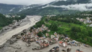
The Bhotekoshi floods have changed the landscape that helicopter pilots once relied on to navigate the valleys of Rasuwa and Nuwakot. Roads, riverbanks and familiar landmarks have disappeared, while steep terrain cuts off radio signals from ground-based control towers.
Yet rescue and relief flights have continued. In many of the worst-hit areas, pilots are relying on a system they have largely built among themselves: continuous radio communication, shared information about other aircraft and strict flying discipline to navigate the narrow valleys safely.
The affected areas of Rasuwa and Nuwakot lie in “uncontrolled airspace”, according to Debendra Prasad Shrestha, chief air traffic controller at Tribhuvan International Airport. Once helicopters enter those areas, air traffic controllers cannot directly control their movements.
After leaving Kathmandu, helicopters generally remain in radio contact with air traffic control for about 15 nautical miles. Beyond that, particularly when flying at low altitude through narrow valleys, radio contact becomes increasingly unreliable, Shrestha said.
Pilots then switch to a common radio frequency and coordinate directly with one another.
“Helicopters are flying while staying in contact with each other on the 120.8 frequency,” Shrestha said. “They share their positions, direction of travel and information about nearby traffic, and maintain separation from one another themselves. What they say cannot be heard by the tower in Kathmandu or at nearby airports.”
Air traffic controllers continue to manage helicopter departures and arrivals at Kathmandu airport. But once aircraft enter the flood-affected areas around Bhotekoshi, much of the responsibility for flight safety rests with the pilots themselves, Shrestha said.
Bibek Khadka, a senior helicopter instructor and captain with Altitude Air, likens the arrangement to driving on a narrow mountain road.
“When flying through a valley between two mountains, helicopters travelling in either direction keep to their respective left side,” he said. “Every pilot reports their position, and information about aircraft approaching from ahead or the opposite direction is shared. In a country like Nepal, where the geography leaves little room to manoeuvre, that discipline is extremely important.”
Senior captain Maniraj Lama of Kailash Air said military and private helicopters are also operating on the same radio frequency.
“It is like keeping to your lane on a road,” he said. “We follow the same practice inside the valleys, keeping to our left when going up and also when returning.”
Trishuli becomes the rescue hub
Trishuli has emerged as the main staging point for rescue operations in Rasuwa and Nuwakot.
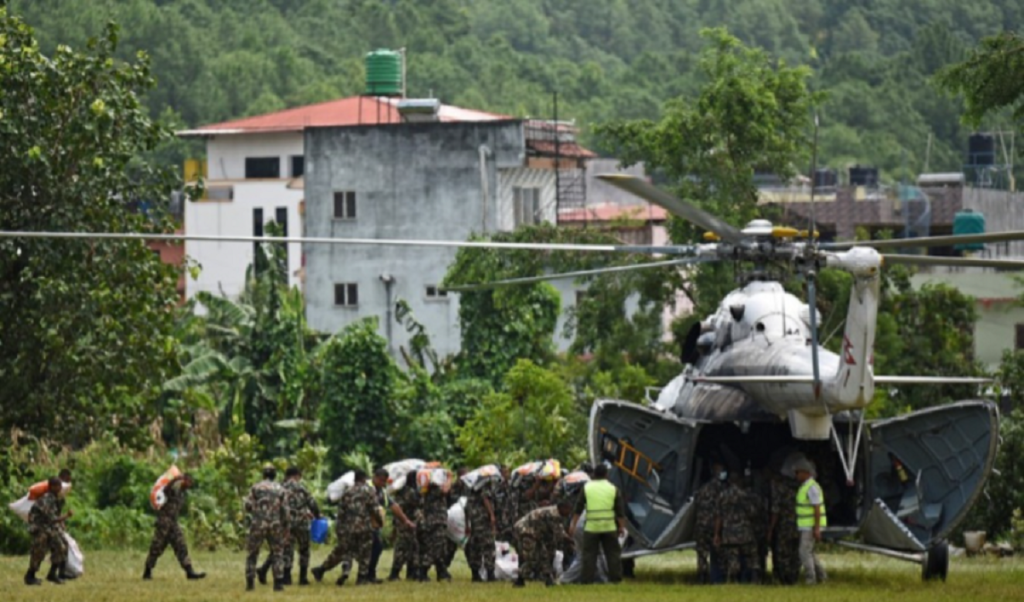
The Nepali Army is operating helicopters travelling from Kathmandu, while private helicopter pilots are also taking part in the operation.
People rescued from the affected areas are generally first brought to Trishuli, where teams from the Army, Armed Police Force and medical personnel are standing by. After receiving first aid, patients in serious condition are flown to Kathmandu.
Relief supplies are also not being flown directly from Kathmandu to every affected settlement, Khadka said.
“Supplies are first gathered at the Trishuli base,” he said. “From there, they are distributed to different affected settlements according to need.”
The nature of the operation has changed since the first days after the flood, said Lama, a former Nepali Army officer who now flies for Kailash Air.